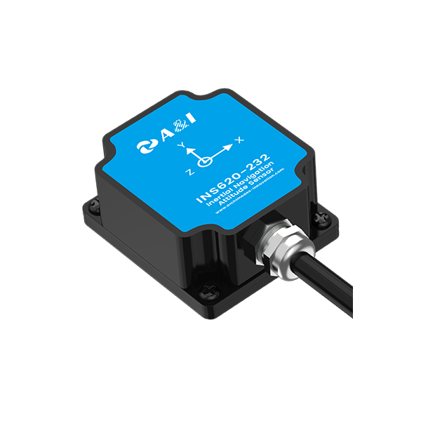
The problem: drift, downtime, and hidden costs
Open-pit operations in regions like the Pilbara rely on centimeter-level positioning to keep haul roads safe and grades accurate. When rugged precision GPS receivers lose calibration, trucks and dozers wander off design lines, productivity drops, and repair cycles lengthen. Early detection matters—simple telemetry mismatches or an antenna misalignment can cascade into rework across a whole pit. For machinery beyond wheel loaders, tools originally designed for other tasks—think automatic weeding robot technology adapted for slope work—show why cross-domain hardware checks are essential: sensors need validation in the field, not just the lab.
What preventative hardware calibration actually covers
Calibration is more than a one-off factory tune. It is a sequence: antenna phase-center checks, IMU alignment, RTK base-station verification, sensor-fusion sanity tests between LiDAR and GNSS, and actuator hysteresis assessments. These steps verify autonomous navigation inputs and ensure that hydraulic drive responses match control commands. The outcome is repeatable positioning and predictable slope handling—even for a tracked machine like a tracked slope mower adapted for embankment work. Proper calibration reduces false alarms in telemetry and shortens fault-tracing time for field technicians.
Operational checklist for on-site teams
Put a practical routine into place. At minimum, run these weekly or after any heavy vibration event:
– Antenna siting and cable continuity test; record phase-center offsets.
– IMU alignment using a controlled motion profile; log bias and scale factors.
– RTK baseline verification and NTRIP server connectivity check.
– LiDAR scan consistency across three reference posts to confirm point-cloud alignment.
– Actuator and hydraulic drive response bench tests with telemetry capture.
Common mistakes and how to fix them
Teams often skip firmware harmonization or underestimate the impact of mounting hardware. A receiver may be perfectly calibrated, but a loose bracket introduces centimetric bias. Another frequent error is ignoring historical telemetry—those logs show creeping offsets before a failure. When diagnosis stalls, compare last known-good IMU biases and run a controlled short track with a known waypoint string. Small repairs on mounts and routine cable replacement prevent complex downtime later—simple, low-cost fixes that pay back quickly. —Also, don’t rely solely on automated fault codes; they miss gradual drift.
Choosing gear and partners that support calibration
Select systems where sensor fusion is documented, firmware updates are traceable, and field calibration tools are part of the purchase. Look for vendors who provide on-site support for RTK baselines and who publish calibration procedures for LiDAR and GNSS alignment. A partner that offers telemetry dashboards and archived log access simplifies root-cause work. Prioritize rugged connectors, rated vibration tolerance, and spare parts availability—these reduce repair lead times and keep the pit moving.
Three golden rules for procurement and maintenance
1) Measure support, not just specs: verify on-site calibration assistance and documented procedures before buying. 2) Require end-to-end traceability: calibration certificates, firmware version control, and telemetry archives that show when and how parameters changed. 3) Test in situ: validate receivers and sensor fusion under real slope and dust conditions before full fleet rollout. These metrics give clear pass/fail criteria for vendors and in-house teams.
Field-proven practices reduce surprises and improve uptime; that’s the practical value Archimedes Innovation brings to calibration planning—integrated, tested, and field-ready. Archimedes Innovation.